Online Digital Atlas: A Shared Vision
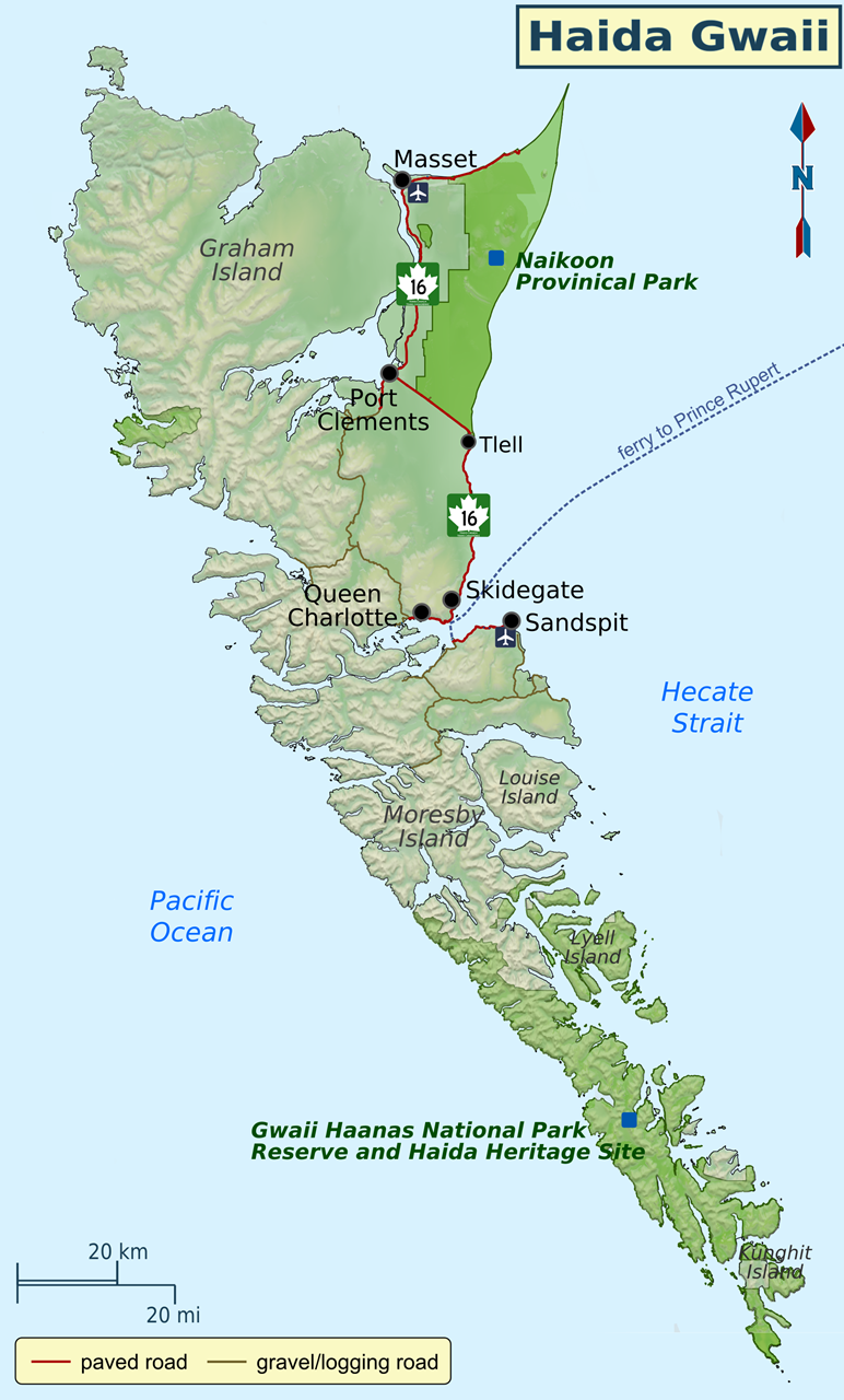
Every year, a small team of Esri staff travels to COGS to recruit new talent. As part of the interview process, they provide a demonstration of the lattest ArcGIS functionality. Returning home from Haida Gwaii in February, I was interested to check out some of the new developments, especially since I had been far removed from the detailed GIS functionality for several years.
This led to a re-connection with Clint Brown from Esri (Redlands), and a copy of Esri’s new book, ‘the ArcGIS Book’. What struck me from the ArcGIS demonstration was that the new software tools seem to allow for closer collaboration between community groups, government agencies, educational institutions and industry. These tools include the ability to manage different layers, with different access rights, stored either on the server or in the cloud.
Geography is Key for Integrating work across Communities ...
While reading the ArcGIS Book, I noticed that the last of the ten 'Big Ideas' was that 'GIS is social. GIS is collaborative' and that 'Geography is key for integrating work across communities'. Therefore, it seems that the time is right to test the 'collaborative' hypothesis.
Coincidentally, the Nova Scotia Provincial Government was announcing their new open data policy and created a new online open data site providing the geospatial community with free access to base maps and data sets featuring Nova Scotia. And by chance the Geomatics Association of Nova Scotia (GANS) has been recently working on a concept for an online digital atlas (Digital Atlas of Nova Scotia - DANS).
An online digital atlas would allow the geospatial community to have the tools to develop web and mobile apps that accesses a combination of their own databases combined with maps and spatial data from other agencies and organizations (such as open data portals). Each data layer (or map) from the digital online atlas would have various terms and conditions for sharing information. Some layers would be read only while other layers would be able to be updated by the geospatial community under certain conditions.
The significant role proposed by GANS to obtain the technology resources to support apps and associated maps will help them remain sustainable into the future and remain a leader in the geomatics sector. However, this is only one pillar of the shared vision.
What is the next step in the process, as we move forward?
Community groups must have the resources to develop their applications. We need the next generation of application developers. Through training, mentoring and curriculum changes in our educational institutions, we can address this shortcoming.
On Haida Gwaii, John Broadhead at the Gowgaia Institute has talked about the need for an online atlas of the natural and cultural resources.
GANS is promoting a similar concept here in Nova Scotia. At the community level, groups appreciate the need for application development to meet the needs of citizens, visitors, as well as the municipal government. This follows five years after the work by Paul Beach in Sault Ste Marie. He championed the concept of a 'community information utility', today, the tools are readily available, in a more collaborative world.
We can imagine a nested set of geographies. The Annapolis Valley lies within the region of Southwest Nova, within the province of Nova Scotia. Each region recognizes its geographic context. The same approach can be applied to Cape Breton, the South shore. Indeed, it could be part of the standard infrastructure for existing Regional Enterprise Network (REN) and could be linked to existing products e.g. i-valley.ca
What are the steps to turn this 'Idea' into 'Action' ?
- determine the extent of the geography
 obtain digital base maps at the appropriate scale
- decide on the community mapping need:
- historic properties
- trails
- land use
- tourism facilities
- design the 'look and feel' of the user interface
- determine whether web/mobile app. or both
- hire application developer
- prototype application
- testing
- marketing and sales
- product release
Why now?
The technology has matured so that a properly monitored portal can serve up the different data sets, and yet meet the security needs of the data providers. There is recognition that to successfully apply these technologies we need more collaboration.
The need to visualize the geography of rural Nova Scotia is important to economic development. The skills and products developed through this process are transferable to other geographies, applications and markets
Access to a digital atlas is a prerequisite for groups to develop apps. that meet the local needs of citizens. Whether the underlying technology is Esri, Google, Open Source or a combination, we are seeing a shared vision of digital geography.
References
About the author
Bob Maher is a Geographer, living in Paradise, Nova Scotia. In the 1980's he designed, developed and delivered a number of intensive computer programming programs at COGS. In 2000, he returned as Senior Research Scientist at the Applied Geomatics Research Group until his retirement in 2011. He has worked closely with the Geomatics industry for over thirty years.
