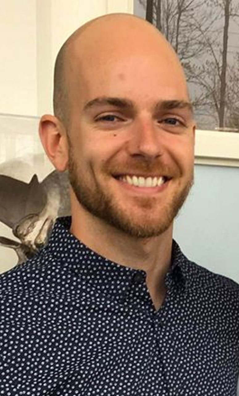
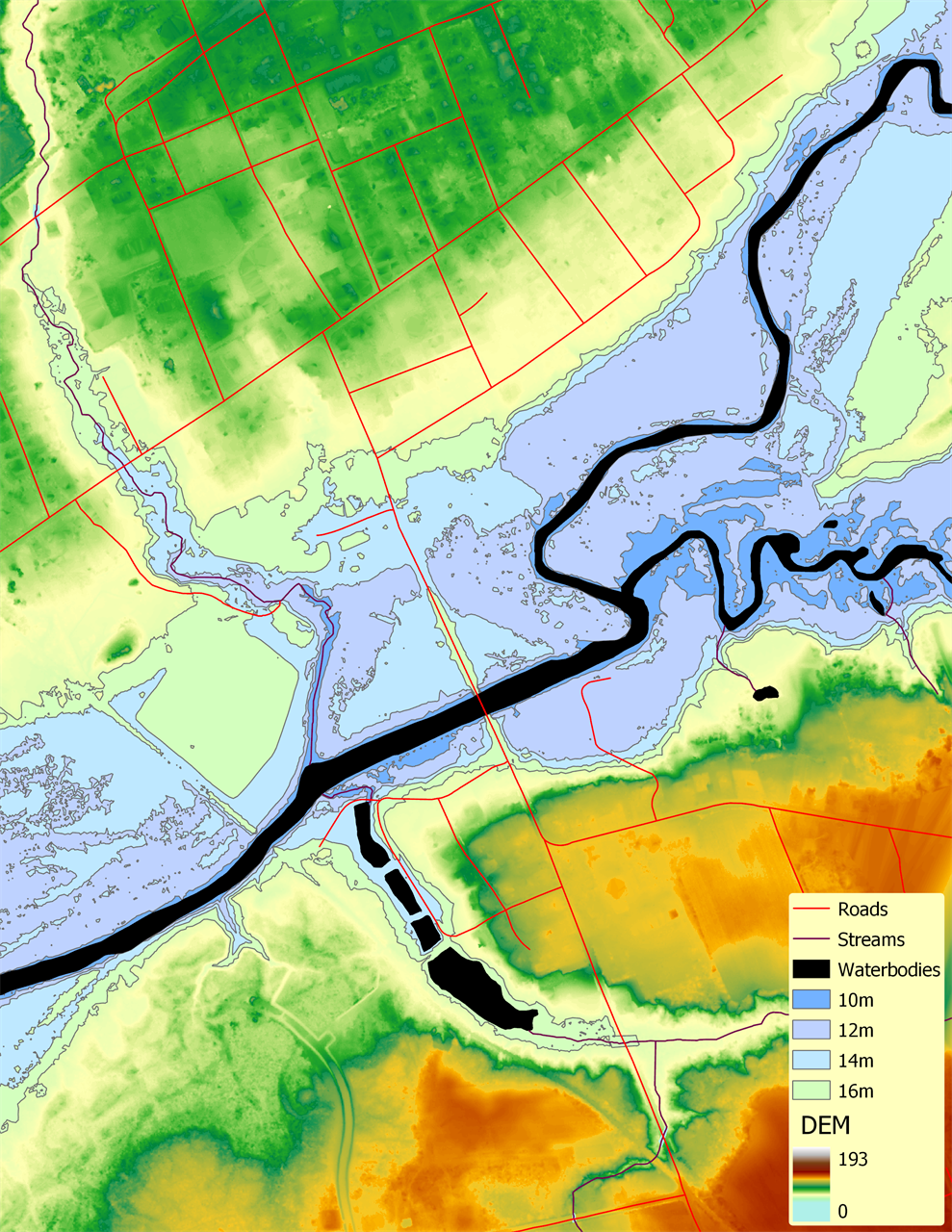
In photo (to left): Samuel Jean Photo caption (to right): For this lab about LiDAR hydrological applications, we hydro- conditioned a LiDAR derived DEM and used it to create flood polygons for incremental water levels.
GANS’ new “Student Highlight” article series recognizes budding geomatics professionals and allows them the opportunity to showcase their work, their skills and their career aspirations to the greater geospatial community of Nova Scotia and Atlantic Canada. In each quarterly newsletter, we will share the journey of one of our student members, how they became interested in geomatics, and what their professional goals are for the future.
This quarter’s feature is Samuel Jean, a postgraduate student of the Advanced Diploma in Geographic Sciences, GIS Program at COGS.
Connect with Samuel on LinkedIn by clicking here.
My education & background:
I am enrolled in the Advanced Diploma in Geographic Sciences, GIS concentration. The first term of this one-year post-graduate program includes data analytics, GIS, programming, remote sensing, spatial databases and geodesy courses. The second term includes two mandatory courses (information systems and advanced GIS) and electives. I chose LiDAR, raster modelling and locations analysis courses as electives. I am currently completing my courses requirements from home. Today (April 23), I completed an assignment about solar panel site selection using LiDAR data.
What interests me about geomatics:
Raster modelling and LiDAR is what interest me the most. I am particularly interested in species distribution and flood modelling.
How I decided on a career in geomatics:
I had my first introductory GIS course in 2014 while doing my bachelor’s degree in Sustainable Development and Coastal Zone. At the time, I was already fascinated by the apparent endless possibilities offered by GIS. I then used GIS software and applications whenever possible during my co-op internships and work experiences in the field of biodiversity conservation and climate change adaptation.
My career goals:
I will start working at Acadia University on June first as a Conservation and Education assistant. While in this role, I hope to use my newly acquired skills to raise the public awareness about native species and collaborate with various stakeholders to improve our comprehension of the ecosystems that compose the Acadian Forest Region.
My ideal employer:
I like to be active and I have a life-long passion for plants so any position that involves some field work in natural environments is definitely a plus. To me the most important qualities an employer can have are to allow its employees to keep learning and progress in their role by getting new responsibilities, let them be creative in their work, and ensure good work-life balance.
Advice for other students:
Previous experiences and COGS brought me a lot, but I still have a lot to learn to be at the stage at which I want to be. Do what you like to do and keep learning! While not at school, make the most out of online learning platforms such as Coursera and edX, connect with people that inspire you and get out of your comfort zone.
How students can benefit from associations like GANS:
A membership with organizations like GANS is a chance to participate to events and network with various professionals, with whom I might develop partnerships to work collaboratively on projects that could benefit us both.
