Hugh MacKay, ( a recent past president of GANS) was elected to the Nova Scotia House of Assembly as MLA for Chester-St. Margaret’s in 2017.

Before becoming a MLA, Hugh was as a consultant in the geomatics sector, served as president of GANS in 2015-16, was the Executive Director East of GeoAlliance Canada and the Founder and Director of Doors Open Halifax.
With the Liberal Government Hugh serves as the Ministerial Assistant to the Minister of Business, Vice Chair of the Economic Development Committee, and member of the Private & Local Bills, Public Accounts, Resources and Veterans Affairs Committees.
On September 25th Hugh had a chance to address the Nova Scotia Legislative Assembly, and took the opportunity to put in a plug for the geomatics sector. Below is part of the September 25th proceedings from the Hansard Transcripts containing some of Hugh's comments on geomatics.
Thanks to Hugh for continuing to help GANS advocate for educating others about geographic information and further promoting the geomatics sector in Nova Scotia.
"Mr. Speaker, after studying at Dalhousie, I attended the College of Geographic Sciences in Lawrencetown, Annapolis County. This renowned college, known by the acronym COGS, was founded in 1949 as the Nova Scotia Land Survey Institute. COGS has trained generations of Nova Scotians, in the fields of land and marine surveying, mapping and geographic information systems, or GIS. Surveying, mapping and GIS, are collectively referred to as the geographic sciences, or geomatics, and this has been the basis for my professional carer until my entry into politics.
Mr. Speaker, I enjoyed a very satisfying and rewarding career in the ever increasing high tech world of geomatics. For many years I worked in the Ottawa office of an international mapping company. Although my activities were primarily focused in Europe and North America, I worked in Senior Project Management and Business Development roles from Kazakhstan to Indonesia, from Argentina to China, and from Yemen to India. Mr. Speaker, I have had the good fortunate to work in 40+ countries spanning the globe.
Mr. Speaker, the siren call of Nova Scotia finally called to Mary Lynne and me and we returned to our native province, taking up full time residence in Glen Haven, on the shores of beautiful St. Margaret’s Bay.
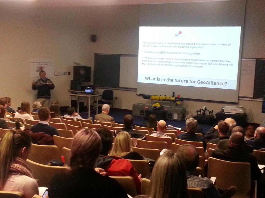
Upon arrival in Nova Scotia, I opened my own geomatics consultancy, representing a mix of national and international clients, with particular emphasis on Asian and European clients. I became an active member of the Geomatics Association of Nova Scotia, or GANS, and I am a proud Past-President of that organization. I also took on the position of Executive Director of GeoAlliance Canada, the umbrella association for geomatics organizations across the country, representing both industry and the public sector.
 Mr. Speaker, it is from my previous geomatics career, I bring to your attention, a somewhat different perspective on a position of this House.
44 degrees, 38 minutes north; 63 degrees, 34 minutes west.
That, Mr. Speaker, is the geographic position of this House, as noted on the commemorative plaque located on the south west corner of the grounds of Province House. Many of our members may not realize that directly behind the statue of Joseph Howe, there lays a plaque titled, “Surveying for the Future”.
Dedicated 50 years ago, during Canada’s Centennial celebrations, the plaque states, “This survey monument and plaque is dedicated to the Surveyors of Canada, whose skill and industry contributed so greatly to the exploration, mapping and development of our nation. It is symbolic of the beginning of the second century of surveying in Canada, and is a first post in a unified system of precisely co-ordinated survey points. With eleven other Centennial Survey Monuments erected across Canada, it signifies the contribution by surveyors, both past and present, to the charting of our Nation’s future.”
Mr. Speaker, the survey and mapping professions, have an unparalleled history in Canada. From the early French explorers who accompanied Samuel Champlain, followed by the British Royal Navy that first charted the waters and headlands of the New World’s coastline, to modern day ocean mapping, and satellite imaging of our province and the world beyond, Canada, and Nova Scotia in particular, have been global leaders in the adaptation and application of geomatics to support our nation’s development and protection of our global environment."

