Join Zoom Meeting
https://zoom.us/j/93925083149?pwd=TS8wdCtmN0lGZlZxV1ByMWZ1aEJnQT09
Meeting ID: 939 2508 3149
Password: GANS
One tap mobile
+13017158592,,93925083149#,,1#,300245# US (Germantown)
+13126266799,,93925083149#,,1#,300245# US (Chicago)
Dial by your location
+1 301 715 8592 US (Germantown)
+1 312 626 6799 US (Chicago)
+1 346 248 7799 US (Houston)
+1 669 900 6833 US (San Jose)
+1 929 205 6099 US (New York)
+1 253 215 8782 US (Tacoma)
+1 587 328 1099 Canada
+1 647 374 4685 Canada
+1 647 558 0588 Canada
+1 778 907 2071 Canada
+1 438 809 7799 Canada
Meeting ID: 939 2508 3149
Password: 300245
Find your local number: https://zoom.us/u/ab0Hbo94v
GEO-TALKS SCHEDULE:
| Date: |
Presenter:
|
Bio:
|
Topic:
|
Abstract:
|
|
May 28
............
|
Noah Stevens, co-Founder & Lead Developer of 3D Wave Design
(3dwavedesign.com)
|
A Mi’kmaw born in Nova Scotia, Noah is an experienced App Developer, Programmer and 3D Artist/Animator. With a background in filmmaking, Noah is known in industry circles for his creative and multidisciplinary skills. Noah’s experience allows 3D Wave to successfully deliver high-quality, cutting-edge products to its clients.
................................................
|
Improving climate risk communication with 3D Interactive Mapping
...................................
|
3D interactive mapping derived from LiDAR, eliminates the technology and scientific language barrier associated with raw data and research reports, allowing more time to observe, plan and adapt.
.....................................
|
| Jun 11 |
Jennifer Strang, Dalhousie University
|
Jennifer is a GIS Analyst at Dalhousie University Libraries GIS Centre where she has worked since 2005. In her work she helps support student, staff and faculty with GIS projects they are working on. Jennifer graduated from COGS in 1997.
|
Visualizing COVID-19 data in Nova Scotia using Operation Dashboard |
COVID-19 has been affecting everyone everywhere. The Nova Scotia government has been releasing information daily, although didn't really allow for looking at past data in an interactive way. This presentation gives information about why the operation dashboard was created as well as some basics how it was created. |
| Jun 25 |
Simon Sankey, BIM & Quality Manager at EastPoint
(https://eastpoint.ca/)
|
Simon is the BIM & Quality Manager at EastPoint. He has been a draughtsman for over 26 years and loves the concept of BIM and all the emerging technologies that are surrounding it. He believes it is the renaissance the industry needed to catch up with the digital generation.
|
Scan to BIMMS to FM
|
To present BIM as it pertains to Facilities Management for Bridges.
|
| Aug 20 |
Brad Ashley, Alberta Society of Surveying and Mapping Technologies
|
Brad Ashley is the current President of the Alberta Society of Surveying and Mapping Technologies (ASSMT), an organization who is celebrating its 50th anniversary. The ASSMT provides accreditation for qualified individuals involved in surveying, mapping and related geomatics occupations. Brad is also the Product Manager at SOLV3D in Calgary, a company who specializes in geospatial applications for LiDAR optimization and web-streaming. |
ASSMT - Geospatial Certifications for 50 years |
The Alberta Society of Surveying and Mapping Technologies (ASSMT) offers certifications for geospatial technical people in Western Canada. As they celebrate their 50th Anniversary, the ASSMT looks at the importance of certifications for technical roles and the changes needed to stay current. |
|
|
|
|
|
| Sep 3 |
James Donaldson |
SITECH Mid-Canada Ltd. |
James is a technology consultant with SITECH Mid-Canada and helps organizations increase productivity with the latest Geospatial technologies. James holds a license with Transport Canada for Remotely Piloted Aircraft Systems(RPAS) for Advanced Operations. |
Wingtra Vertical Take-Off and Landing fixed-wing |
|
|
|
|
|
|
|
|
|
|
EVENT DESCRIPTION:
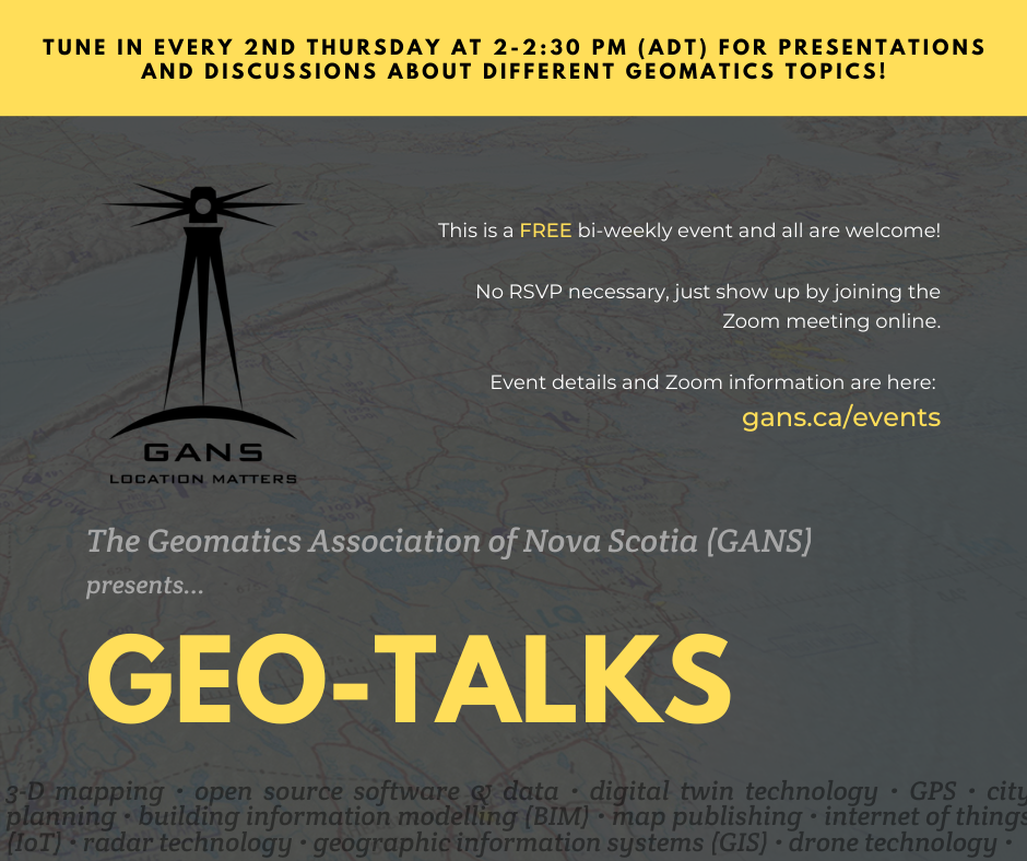
Join us on Zoom every 2nd Thursday afternoon for a short presentation and Q&A session with individuals representing a variety of geomatics perspectives!
Professionals will speak about their work, shedding light on current developments in their specialization and how it contributes to greater geospatial objectives. You get to learn and have your questions answered about the different industries and occupations within the geomatics sector.
All are welcome to attend. These Geo-Talks will be great professional development and networking opportunities, whether you are a young or seasoned geomatics professional, or are simply interested in learning about the topic!
SPEAKERS:
GANS Geo-Talks Speaker Registration Form: https://www.surveymonkey.com/r/NHLQXZD
Are you a geomatics professional with a keen interest in a particular topic or area of your work? We would be happy to host you in one of our Zoom webinar sessions to speak about what you do, and how it applies to a major theme in the geomatics sector.
Our GANS host will start the call by introducing the speaker and topic, then the speaker will be allotted approximately 20-25 minutes for their presentation, and finally the meeting will be open to questions from our audience. ***Speakers will have the freedom of deciding the topic of their presentations.
All you need to do is fill out the Registration Form linked above. After we’ve received it, we will be in touch with you shortly to confirm and schedule your Geo-Talk.
Questions? Reach out to us at [email protected] and we will gladly answer your inquiries.
Hope to see you on our next Zoom call!