GANS Geographic Education Poster Series
Geography Helped Me Get Where I am Now
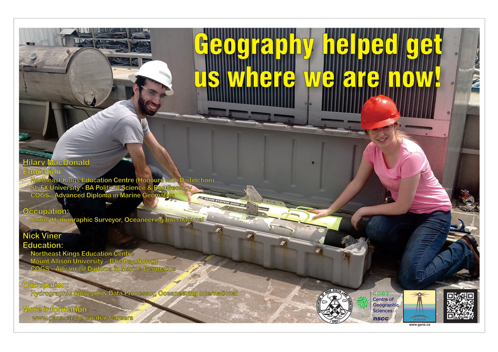
Nick VinerEducation
Occupation: After graduating from NKEC, I attended Mount Allison University where I completed my B.Sc in Psychology. However, after my four years, I found my interests lay elsewhere ... |
I wasn’t really sure what I wanted to do or where I wanted to go, but life on the water seemed like an interesting option. At this point I was completely oblivious to the world of Geomatics, but after a few searches on Google, I stumbled across the Marine Geomatics Course at COGS. It looked interesting, so I applied.
In 2015, I graduated from the Marine Geomatics program, and accepted a job with Oceaneering International in their Survey Division as a Hydrographic Surveyor. So only a month or so after graduating, I packed my bags, moved down to Louisiana, and started my adventure into the world of Marine Survey. My primary role upon beginning work was as a field data processor. I worked a 12 hour shift onboard a survey vessel alongside fellow surveyors, downloading the data they collected data into various processing software packages and ensuring the collected data meets the standards required by the client. The datasets we collect have a number of purposes, primarily though, we use them for finding debris on the seabed which may cause harm to the environment, passing ships, or other subsea operations in that area. While most of my work at Oceaneering has revolved around the processing and collection of conventional survey data, I have had the opportunity to delve into many other fields of survey as well. Oceaneering has a fleet of Remotely Operated Vehicles (ROVs) that I have been able to work with both as a pilot and a technician during deep sea drilling operations in the Gulf of Mexico onboard massive mobile drill ships. I also frequently get to work with Oceaneering’s Automated Underwater Vehicles (AUVs), monitoring their operations and processing the data they collect, which can range from the acoustic data we collect on our conventional survey vessels, to laser imaging data which is often used for inspecting pipelines on the seafloor. Regardless of the work I am doing though, simply being able to work out on the ocean with all this cool new technology has truly been a phenomenal experience. An experience I look forward to continuing for years to come. Back to the Geographic Education and Geospatial Related Careers Page |
Check out the Geomatics Association of Nova Scotia Sponsors map
Website design and management courtesy of Ted MacKinnon, Vicki Gazzola, & Jeff McKenna |


