GANS Geographic Education Poster Series
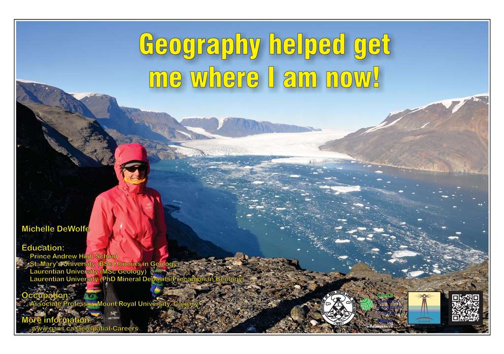
Geography Helped Me Get Where I am Now
Michelle DeWolfeEducation
Occupation: In high school I took both geography and geology classes and knew that I wanted to pursue post-secondary studies in these two disciplines. |
Near the end of my undergraduate studies at St. Mary’s I had the opportunity to visit Laurentian University in Sudbury in order to select a research project for my Master’s degree. I studied a copper-zinc deposit in northern Ontario, which lead to a PhD in mineral deposits and volcanology, also through Laurentian University. Following my PhD I accepted a faculty position at Mount Royal University in Calgary, where I’ve been teaching in the Geology Major program for 9 years now. In addition to teaching, research is a major component of my job. My current research projects involve studying volcanology of both ancient and modern seafloor volcanoes and their associated copper-zinc-lead-gold deposits. One of my research projects is in partnership with the German Federal Government and involves exploration for mineral deposits, hosted in volcanic rocks, along the south central Indian mid-ocean ridge. The research vessels that we use in this project utilize remotely operated submersible vehicles, and a multitude of geophysical tools/remote sensing techniques such as bathymetry, and gravity and magnetic surveys of the ocean floor. Another one of my research projects is in partnership with the Geological Survey of Greenland and Denmark and involves field work in the Karrat Region of western Greenland. The Karrat region is steep alpine terrain making many locations inaccessible, so we use oblique stereo-images that can be used for 3D-mapping, interpretation purposes and topography extraction once back in the lab. Images are taken from helicopters or drone-borne surveys. The data can also be manipulated using phtogrammetric software to create high-resolution digital elevation models of the area. In Greenland we also use hyperspectral imaging to remotely sense inaccessible areas and to provide information on the spatial extent of alteration mineral assemblages. In combination with photogeological interpretations this spectral information not only helps to evaluate the areas’ mineral potential, but also to highlight certain structures (e.g. faults) not visible in standard photographs. Geoscience research has taken me all across Canada, and the world, including, Australia, Greenland, Mexico, the U.S.A., Spain, Portugal, Denmark and the Indian Ocean allowing me to see many different geological and geographical settings using various geomatic tools. Back to the Geographic Education and Geospatial Related Careers Page |
Check out the Geomatics Association of Nova Scotia Sponsors map
Website design and management courtesy of Ted MacKinnon, Vicki Gazzola, & Jeff McKenna |


