GANS Geographic Education Poster Series
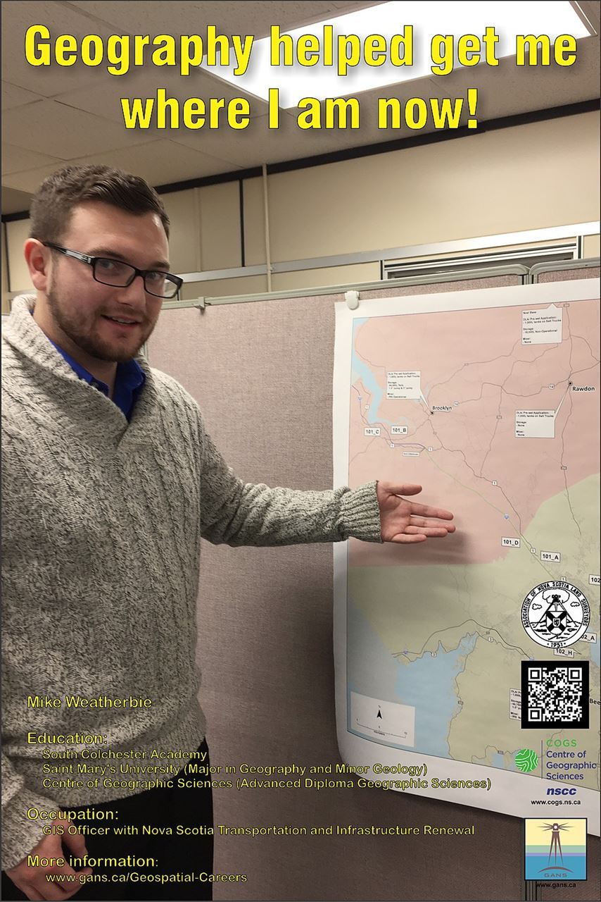
Geography Helped Me Get Where I am Now
Mike WeatherbieEducation
Occupation:
When I was in high school I was very active with sports and this where I first started to gain an interest in geography. My interest in geography grew by learning and understanding certain things about a town or place, for example, knowing that a town was famous for industrial activity. This made me spatially aware of my surroundings. As I graduated high school and went to university (SMU), I was unsure what I wanted to do as a profession so I tested the waters with multiple avenues. Geography and Geology were two subjects that seem to be parallel with my interests and I pursued these subjects as a Major and Minor. My interest in going to COGS after university was mostly through peers that had taken the GIS program in the past and had “the best experience of their life.” |
I went to COGS with the open mind to try and absorb as much as I could. As the year progressed I found myself interested in the GIS for Business. The courses that went along with this concentration were more of what my original interest in geography, location analysis and working with Census data to understand the demographics of an area. Also, the requirement of the term long research project was more appealing to me due to the interaction with instructors and gaining experience while taking relevant courses. Overall, my education experiences I can say by going to COGS was “the best experience of my life.”
After COGS, I received a job with Dawson Geophysical Company as a Hazard Mapper (Assistant to Head Mapper). This job required me to use a GPS unit to find all features on any given property. This would include: structures, fencing, gates, utilities, phone and any other features that would be considered hazardous for our large equipment. This data was then put on a map for the surveys collect GPS points for seismic purposes. The position was located in Midland, Texas gaining international work experience.
As I moved on from that position I currently work for the Nova Scotia Department of Transportation and Infrastructure Renewal (TIR) as a GIS Officer. This job is in an office setting where I am a part of planning and decision making within a specific area. My responsibilities include using GIS to help plan winter plow routes and road construction to effectively make smart decisions, as well as using statistics to be informative throughout other divisions of the entire department.
Check out the Geomatics Association of Nova Scotia Sponsors map
Website design and management courtesy of Ted MacKinnon, Vicki Gazzola, & Jeff McKenna |


