GANS Geographic Education Poster Series
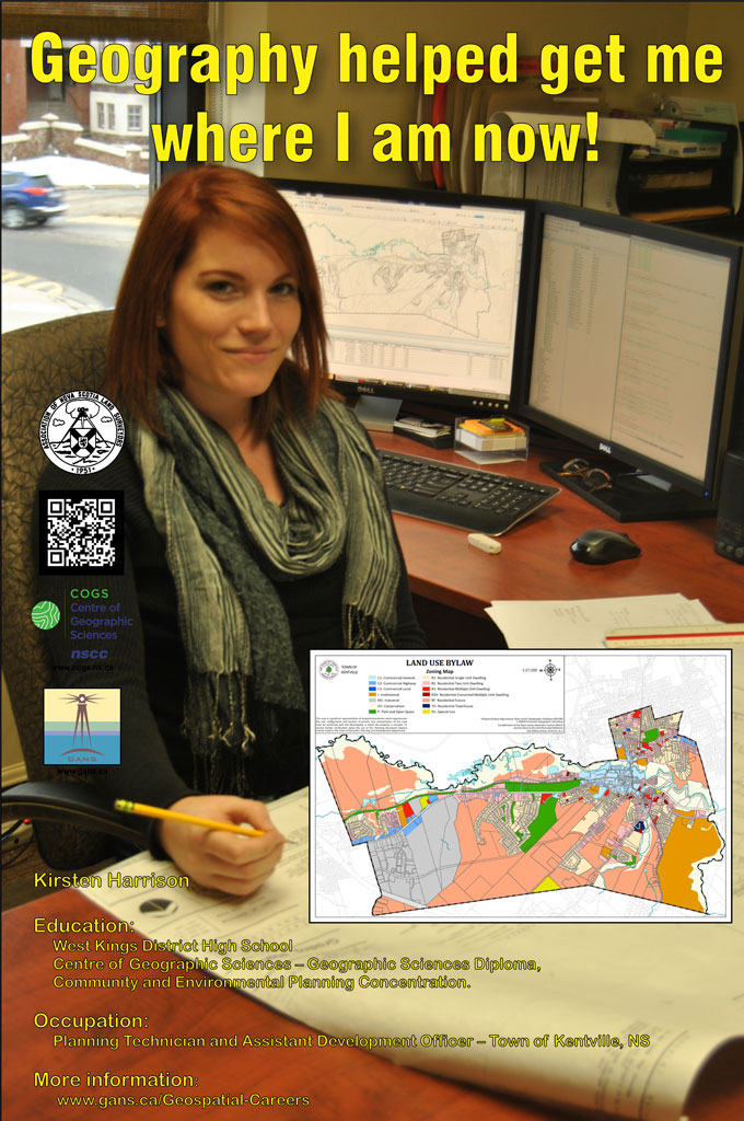
Geography Helped Me Get Where I am Now
Kirsten HarrisonEducation
Occupation:
After graduating from West Kings in 2012, I headed straight to COGS for the upcoming year. I was fascinated by the thought of working with mapping data to create informational maps, little did I know I would learn a whole lot more than just that. The graphic design element of the Geographic Sciences program captivated my inner artistic skills from day one; I enjoyed having the freedom to design my maps however I pleased. In between my two years at COGS I was fortunate to complete a summer work placement at the Municipality of the County of Kings. Throughout my placement I learned what a working and organized database looked like and I learned what type of work was to be expected in the role of a Planning Technician. |
During my time there I created anything from informational brochures regarding Planning topics to maps that helped the Planning Department better inform the public about what they are permitted to do on their land, as per the Land Use Bylaw. While I was at the Municipal office, I started learning more about the Development Officers role and what it entailed. The idea of helping others better understand the bylaws that are implemented in their community peaked my interest and helped me choose the Community and Environmental Planning concentration to further my education towards the Development Officers role.
Working as both a Planning Technician and an Assistant Development Officer at the Town of Kentville means I have many responsibilities. As a Planning Technician, I have a wide range of duties, from creating different maps for the departments in Town Hall, to collecting and digitizing infrastructure data (sewer, water, storm water lines, etc.) and even creating informational brochures and posters.
As an Assistant Development Officer I take time to answer questions regarding permitted uses, signage and more. I also look over construction and building plans with applicants who are local residents and developers, and advise on how to alter their plans to meet all of our required setbacks and standards within the Town’s Land Use Bylaw. Once all the proper information is obtained from the applicant and all of our setbacks and standards are satisfied, I prepare a Development Permit and hand it over to the Development Officer to sign off on.
Check out the Geomatics Association of Nova Scotia Sponsors map
Website design and management courtesy of Ted MacKinnon, Vicki Gazzola, & Jeff McKenna |


