GANS Geographic Education Poster Series
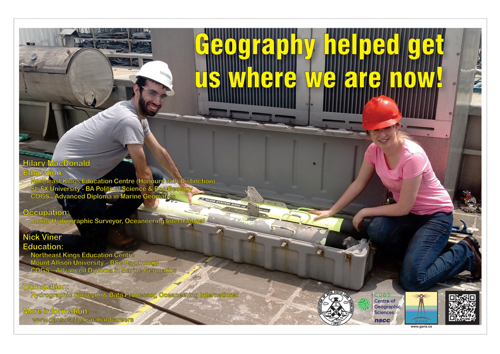
Geography Helped Me Get Where I am Now
Hilary MacDonaldEducation
Occupation: After attending high school at NKEC (2009), I went onto pursue further education at St. FX University. I was initially unsure of what I wanted to major in, so I entered university taking a Bachelor of Arts Degree and opted for classes in varying fields. |
I found a love for two subjects in particular: Political Science and Geology. I continued my education in these fields, graduating first with my BA in Political Science (2013), followed by my BSc in Geology (2014) a year later. Having gained two very differing degrees, I was unsure of what my next step should be. I had heard of the Centre of Geographic Sciences through both a professor at St. FX and from friends who had attended. These friends had taken an Advance Diploma in Marine Geomatics and both had very different but interesting careers in the industry. Encouraged, I decided to attend COGS and take Marine Geomatics that following year. After a year attending COGS, I left the school with my Advanced Diploma (2015) and had received and accepted a job offer in Lafayette, Louisiana. I moved to Lafayette a few weeks after graduating from COGS, and started my position as a Junior Hydrographic Surveyor/ CAD Technician for Oceaneering International (formerly C&C Technologies). The majority of my work was done on a boat in an offshore environment. My department worked directly with NOAA (National Oceanographic and Atmospheric Association) to update navigational charts on a yearly basis. Our job was to survey a portion of the ocean floor in the Gulf of Mexico. We would collect data, process this data, and produce deliverables for the use of NOAA. While surveys were underway, I was mainly responsible for the operation of smaller vessels. On these vessels, I and one other crew member would depart from shore every morning and survey areas where our larger vessel could not go. With a crew of only two, these smaller vessels provided an atmosphere that allowed me to learn in a fast paced environment. I learned how to fix and maintain many aspects of the boats and equipment, I gained first-hand experience in driving and trailering the boats, I developed databases, and leaned new processing techniques. Working on these smaller vessels was definitely the highlight of my job in Louisiana. There is nothing like seeing a sunrise or sunset on the water with no land in sight! Back to the Geographic Education and Geospatial Related Careers Page |
Check out the Geomatics Association of Nova Scotia Sponsors map
Website design and management courtesy of Ted MacKinnon, Vicki Gazzola, & Jeff McKenna |


